Search the entire catalogue by entering a key search term in the ‘search’ box or browse our stock by selecting from the list of categories below.
MAPS EAST EUROPE/RUSSIA
![]()
![]()
|
||||||||||
|
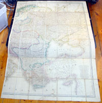
Cartographer : | James Wyld | ||||||||
| Title : | Eastern Europe, Russia | |||||||||
| Date : | 1830 | |||||||||
| Size : | 63in x 33in (1.6m x 840mm) | |||||||||
| Description : |
This extremely
large large original antique
folding map (dissected into 56 sections on linen) of
eastern Europe, Russia & Turkey
- the eastern part of
a huge two part map of Europe - was
published in ca 1830 by James Wyld,
Charing Cross East London.
General Description: | |||||||||