

Related Products
Sold
Sold
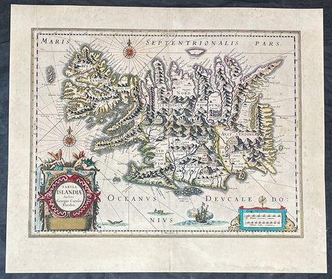
1635 Joan Blaeu Antique Map of Iceland - Joris Carolus
$1,250.00 USD
Sold
Sold

Sold
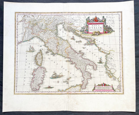
1640 Joan Blaeu Large Antique Map of Italy
$1,150.00 USD